|
| © Eugene Brennan |
My second long cycle of the year was an 80 km / 50 mile loop on Sunday that took in a section of the Barrow Way.
This is a walking and cycling trail along the Barrow Branch of the
Grand Canal and River Barrow that stretches a distance of 117 km, from
Robertstown in County Kildare, to St. Mullins in County Carlow. My
cycling route was cross-country to Athy via Narraghmore Bog, Mullaghmast
and the new N78. Then along the Barrow Way from Athy to Vicarstown and
back home via Kilberry Bog, the outskirts of Suncroft and Ballysax. Grit
trails have been laid along the canal banks in the last decade or so to
make cycling and walking easier.
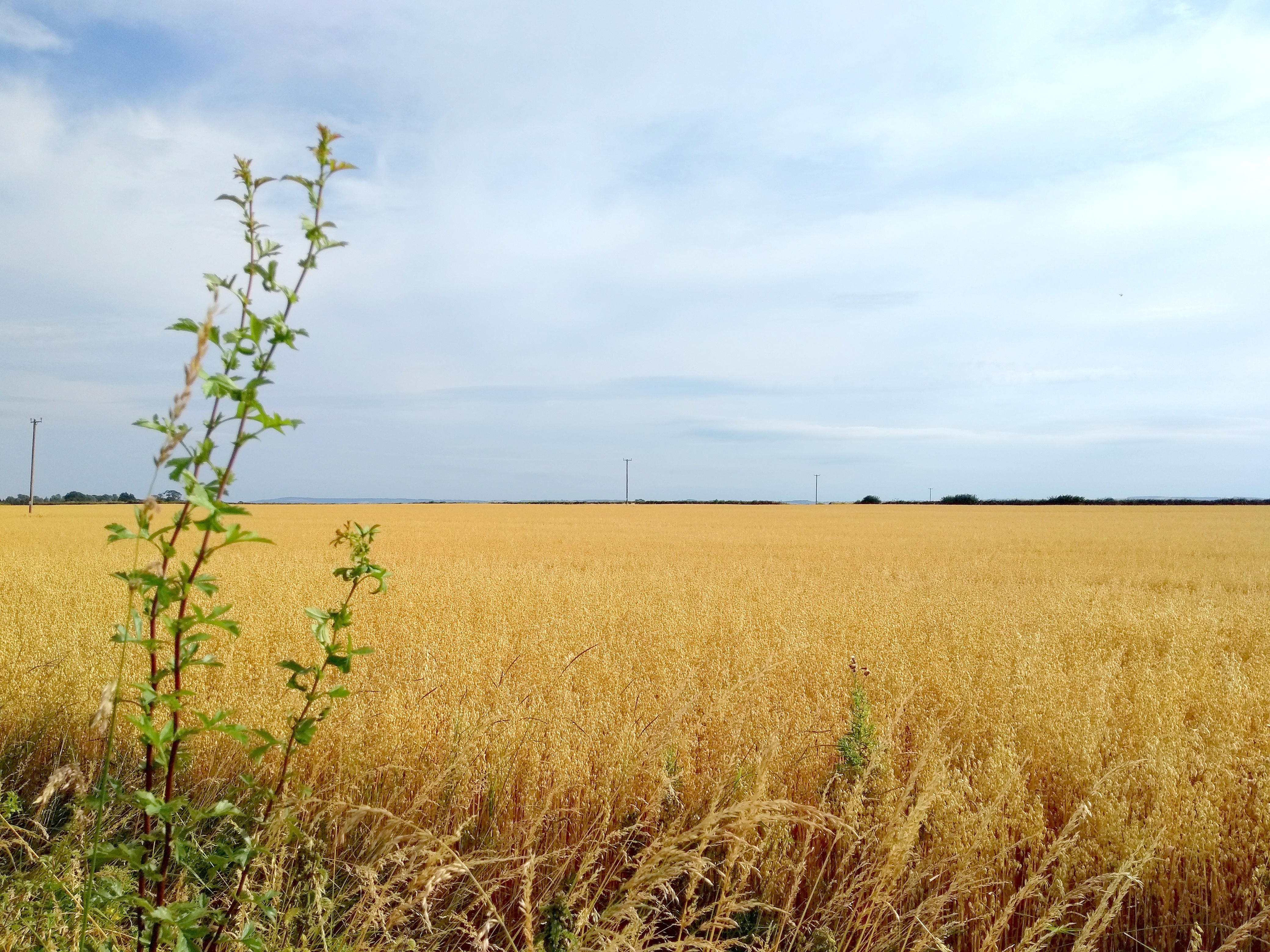
Kildare
is a flat county, but the region of south Kildare and County Laois near
Athy is characterised by exceptionally large, flat, open fields, almost
prairie-like, cultivated with barley in the summer. The golden brown of
the corn contrasts with the "big skies" and unobstructed views of the
horizon.
 |
| © Eugene Brennan |
Apart
from admiring the scenery along the Barrow Way, I spotted some
interesting engineering features. The first was the Camac Aqueduct at
Derrybrock in County Laois. This is a three-arched aqueduct, built over
the Stradbally River in 1790, to carry the Barrow Branch of the Grand
Canal. As far as I know, marl, a soft grey clay, found at the
bottom of bogs, was used as a sealer for waterproofing the masonry
joints of aqueducts. In the documentary series Hands, marl was also used by one of the operators of Powers Foundry in
New Ross for lining the furnace to prevent the casing from being burned
by the intense heat. The Camac Aqueduct seemed "leaky", water dribbling
from the top of the arches. Maybe this is normal for these structures.
 |
| Camac Aqueduct in County Laois. © Eugene Brennan |
At Derrybrock Bridge near Vicarstown, I came across an OPW hydrometric
measuring station, similar to the Kildare County Council owned and EPA
managed one at the Mill Stream bridge on the Mass Path in Kilcullen.
While the monitoring apparatus in Kilcullen is somewhat low-key and
wouldn't be noticed by the casual walker, the station at Derrybrock is
more obvious. A large, and what appears to be a broad-crested, flat-V
weir, similar to the one in Kilcullen is used to backup the water so
that it rises in level. The monitoring equipment, powered by a solar
panel, projects out of the side of the riverbank. The "V" in this weir
is more obvious than the one in Kilcullen, with the arms of the "V"
rising up out of the water on both sides. Various types of profiles are
used for weirs: rectangular, parabolic, trapezoidal, flat-V and
V-notch, each having their advantages and disadvantages. Flat-v weirs
are used for measurements in rivers and streams with low flow rates and
narrow stream beds. Some info on the different types and flow
calculations here.
As I explained in the article about the Mill Stream hydrometric
station in Kilcullen, weirs are used for measuring water flow. A weir
causes water in a stream or river to backup and rise in level. By
measuring the level using an ultrasonic or pressure transducer and doing
some calculations, flow rate can be worked out. This hydrometric data
can then be used for planning, water management, flood research etc.
Information on the EPA's hydrometric programme is available here.
It's part of the National Hydrometric Programme, with other bodies such
as the OPW, the ESB and Waterways Ireland also involved in measuring
water level and flow. Data from a network of over 1000 hydrometric
stations around the country can be viewed on the EPA's Hydronet website.
 |
| Derrybrock Hydrometric Station. © Eugene Brennan |
 |
| Instrumentation for measuring water level. © Eugene Brennan |
 |
| Flat-V weir. © Eugene Brennan |
 |
| Flat-V weir. © Eugene Brennan |
 |
| Weir view from Derrybrock Bridge. © Eugene Brennan |